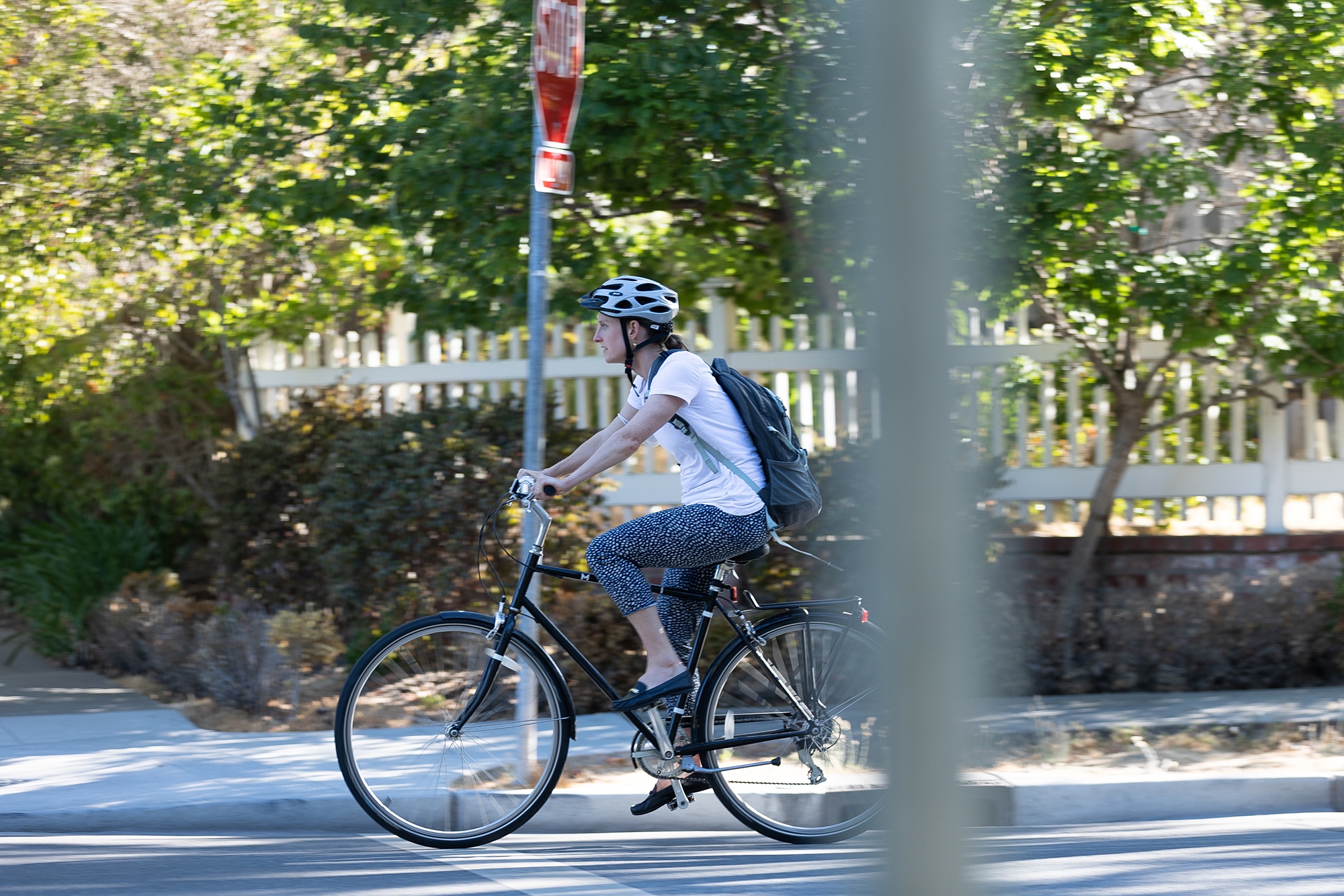

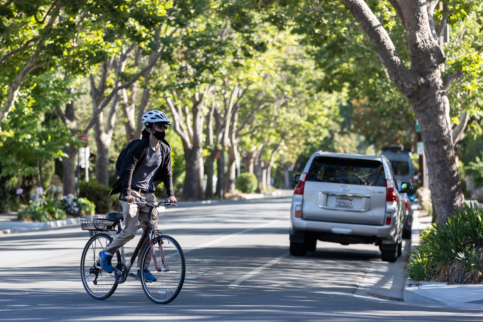
Few roads better epitomize the frustrations of Peninsula's bicycle advocates than El Camino Real, a critical north-south connector that offers both the most direct and, arguably, the most perilous route between Redwood City and Mountain View.
Living up to its moniker as "The King's Highway," the original connector between California's network of Spanish missions is today dominated by cars in just about every Peninsula jurisdiction through which it passes, despite years of talk around the region about converting it into a multimodal "grand boulevard."
And even as each city has been making its own bike-safety improvements (Palo Alto, for instance, is now completing construction of a bike bridge over U.S. Highway 101 as well as planning for further bike improvements along East Meadow Drive and on the Charleston-Arastradero corridor), these efforts have largely steered clear of El Camino.
A recent traffic analysis commissioned by city managers from Peninsula cities concluded that the 12.5-mile stretch of El Camino between Redwood City and Mountain View has a "high concentration of bicycle collisions" and virtually no bike infrastructure.
But even as it poses a steep challenge for city leaders across the Peninsula, El Camino also represents their greatest hope. During the pandemic, the cities of Redwood City, Menlo Park, Palo Alto and Mountain View collaborated on a Peninsula Bikeway study, a survey of bike amenities in each city with recommendations for further improvements to bike connections between the jurisdictions. The study, which was released in November, evaluates three different possibilities for separated bikeways that would stretch along the Peninsula. After considering other routes, including Alma Street and Middlefield Road, the study concluded that a bikeway on El Camino, despite the massive challenges it would entail, "represents the most viable opportunity to implement such a vision and help improve safety and connectivity for all bicycle users."
The Peninsula Bikeway study is an outgrowth of a partnership that city managers from four cities formed in 2016 to discuss stronger connections between their jurisdictions. Known as the Managers' Mobility Partnership, the effort initially focused on using existing bikeways and routes to design an interim "low-stress bicycle connection" between the north and sound ends of the segment.
The latest effort is far more ambitious. The new study bills itself as "the first phase of implementing a high-impact bicycle superhighway network in the Bay Area helping residents and workers increase connectivity and safety to jobs and activity centers." Its goal is to offer a "long-term, high-quality, bikeway suitable for bicyclists of all ages and abilities."
Unlike the interim route — a meandering path that forces riders to cross El Camino Real once and the railroad tracks twice to avoid hazardous road segments in the various cities — the new bikeway would be direct. All three of the study's options feature a straighter path between Redwood City and Mountain View. One would rely predominantly on Middlefield Road; another would stay within El Camino Real; the third would run along the Caltrain right-of-way and rely on Alma Street in the northern section and on Central Expressway and Evelyn Avenue in the southern end.
But El Camino was selected because it offers a "cohesive route" and has ample right-of-way to facilitate the improvements. Middlefield, by contrast, already has some bike lanes, but because they are not contiguous, bicyclists are required to maneuver and mix with car traffic, a challenge for less experienced cyclists. And Middlefield's existing right-of-way "would not allow for the implementation of a continuous and seamless separated bicycle facility," the study states.
The study also concluded that the Alma Street and Central Expressway route falls short because the corridors along that route "include fences, experience high traffic volumes and speeds, as well as multiple travel lanes making it uncomfortable for cyclists to traverse." And because there is no continuous bikeway north of Menlo Park, the route is "circuitous and not very functional," the study concludes.
But the study does acknowledge that El Camino comes with significant barriers: It currently has no bicycle infrastructure; and adding protected bike lanes here would more greatly impact parking, which in turn affects businesses that rely on El Camino for their parking spaces.
Any changes to the corridor's configuration, the study states, "will need to consider the trade-offs and potential effects on parking supply, loading/unloading, garbage pick-up, and other operational functions associated with retail businesses."
In the meantime, the study proposes a set of "interim improvements" that each participating city can undertake to its segment of the current Peninsula Bikeway. In Palo Alto, the improvements focus on Bryant Street and target the intersections of Bryant with East Meadow Drive, Embarcadero Road, Churchill Street and Lytton Avenue.
For the East Meadow intersection, the study recommends painted bulbouts to slow vehicles as they turn and "conflict striping" (a line of green rectangles for bicyclists parallel to the pedestrian crosswalk) to increase visibility of bicyclists.
Near Embarcadero, the study recommends high visibility crosswalks and green bike lanes near the intersection. At Churchill, the study recommends a traffic circle to reduce vehicle speeds. And on Lytton, the city should add a green "bike box" near the street's intersection with Bryant to improve bike connections between the two streets, the study recommends.
In Menlo Park, the study recommends improved signage and striping at the intersections of Elena Avenue and Valparaiso Avenue; Valparaiso and Crane Street; Laurel Street and Ravenswood Avenue; and Willow Place and Willow Road, an area where the study also recommends a "refuge island" at a place where there is currently a central turn lane.
The interim improvements proposed for Mountain View focus on the intersections of El Camino with San Antonio Road, Showers Drive, Rengstorff Avenue and Castro Street. The study calls for "high-visibility crosswalks" and protected intersections in these areas (marked with green paint and flexible delineators) for bicyclists and tighter radii for cars, designed to slow vehicle speeds.
The study acknowledges that even these steps are unlikely to sway a major segment of population to use their bikes for Peninsula commutes. Roughly half of the population of potential bicyclists falls into the category of "interested but concerned," according to a 2016 survey conducted by Jennifer Dill and Nathan McNeil. These bicyclists are interested in biking more but generally feel comfortable on streets with buffered or protected bikeways, according to the study.
"A bikeway with less separation such as a regular bike lane on a busy suburban arterial road with high speed traffic will fail to provide low-stress conditions needed to attract a majority of potential cyclists," the Peninsula Bikeway study states. "By appealing to the desire of the majority of users' needs … for increased separation, the implementation of a separated bicycle facility will help the community be strategic about investments and implementation, while also helping to balance competing network needs, such as for transit and freight."
Comments
Registered user
Menlo Park: Park Forest
on Jul 13, 2021 at 12:31 pm
Registered user
on Jul 13, 2021 at 12:31 pm
El Camino would, because of its length and location, make a superb bikeway.
However, for that to happens one car lane in each direction would need to be converted into a physically protected bike lane and ALL driveway entrances to El Camino that do not have traffic lights would need to be eliminated.
Realistically the problems associated with reducing the lanes on ECR and blocking all of the driveway entrances overwhelm the value of dedicated bicycle lanes.
Registered user
Atherton: other
on Jul 14, 2021 at 7:38 am
Registered user
on Jul 14, 2021 at 7:38 am
Peter is correct. Although the goals are laudable, modifying El Camino would have massive (unforeseen to many) negative impact to the climate (extra commuting & delivery times via car/truck), the economy & the lifestyle in the area. I suggest that we have a great alternative in the CalTrain Right-of-Way. Instead of destroying the peninsula by building the electrification infrastructure & greater footprint of the High Speed Rail, re-think the Right-of-Way & make it a dedicated "Local Transit Thruway". It could accommodate greater frequency Light Rail service & a protected, dedicated Bike Thruway that would meet the goals without destroying El Camino. But this will take visionary thinking & not merely execution a very out-of-date plan & outmoded technology of the HSR. The $100B saved in the HSR could fund all the changes & Grade Separation required for local transportation improvements in the SF Bay, LA. Sacramento, etc. Note" Grade Separation for Light Rail would be much less expensive than grade separation required for massive, heavy HSR equipment! Let's solve the problem & not have yet another 30+ commission member study.
Registered user
Menlo Park: Fair Oaks
on Jul 14, 2021 at 2:42 pm
Registered user
on Jul 14, 2021 at 2:42 pm
Middlefield Rd. is a good bike route through Menlo Park and Atherton but starting at Encina Ave. in Unincorporated Menlo Park through Redwood City it is awful as the bike lane disappears into thin air. If San Mateo County could start at Encina Ave. and put a bike lane there to connect with the new construction between 6th (or is it 7th) Ave. that would be great.
Registered user
Menlo Park: Fair Oaks
on Jul 16, 2021 at 9:33 pm
Registered user
on Jul 16, 2021 at 9:33 pm
Correcting my earlier email: Middlefield Road should get bike lanes from Encina Ave. till Douglas Ave. From there on, there is a okay bike lane. The new one from Woodside Road till downtown Redwood City is very nice. Now if on the latter some bike pictures could be added on the pavement for more clarity that would be super!
Registered user
Woodside: other
on Jul 20, 2021 at 11:32 am
Registered user
on Jul 20, 2021 at 11:32 am
There are only three major north-south arterial roadways running the length of the Peninsula - the 101 freeway, the 280 freeway and El Camino Real. Alameda de las Pulgas and Middlefield cover limited areas but they are narrow, mostly one lane in each direction, and generally traverse through residential areas.
Reducing 50% of the capacity of El Camino Real, the peninsula's only non-freeway, full length north/south arterial roadway is absurd. Those frustrated drivers aren't going to stay home, they're going to be cutting through the back streets of Redwood City, Menlo Park and Palo Alto to avoid the backlog. Yeah, that'll work out well...
Beware unintended consequences.
Registered user
Woodside: Emerald Hills
on Jul 21, 2021 at 1:58 pm
Registered user
on Jul 21, 2021 at 1:58 pm
I can't imagine a more unpleasant street to ride bicycles on than El Camino Real. This idea is risible.